
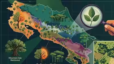
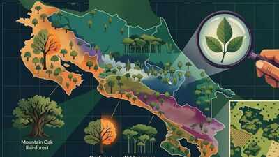
The trees that dominate one forest can be very different from those found just a few kilometres away. A study has mapped this variation across the country by examining 364 forest plots and nearly 59,000 trees representing 1,333 species. Researchers identified 495 dominant tree species that helped separate the forests into 10 distinct groups. Seven of these groups could then be mapped across Costa Rica using satellite observations and environmental data. According to the research article published in Ecology and Evolution, the findings offer one of the clearest pictures yet of how forest ecosystems differ according to their tree composition, climate, topography, and vegetation. The map also helps show where secondary forests are found and where they may support forest ecosystems. This distinction matters for conservation because forest cover alone cannot reveal what lives within a forest or how its ecosystem functions.
How Costa Rica mapped its forest ecosystems using dominant tree species
Costa Rica’s forests are not one uniform landscape. The country spans dry forests, humid lowlands, cloud forests, and mountain ecosystems, with strong changes in rainfall and elevation. To capture that variety, researchers combined forest inventory records with data from regional studies. Their final dataset contained 364 georeferenced plots surveyed between 2004 and 2021. The plots covered areas from 0.1 to 1.6 hectares. Researchers considered trees with a diameter of more than 10 centimetres and retained specimens identified to species level. This produced a database of 58,773 trees belonging to 1,333 species. Then, they focused on dominant canopy species and used their abundance patterns to group forest sites according to differences in tree composition across Costa Rica.

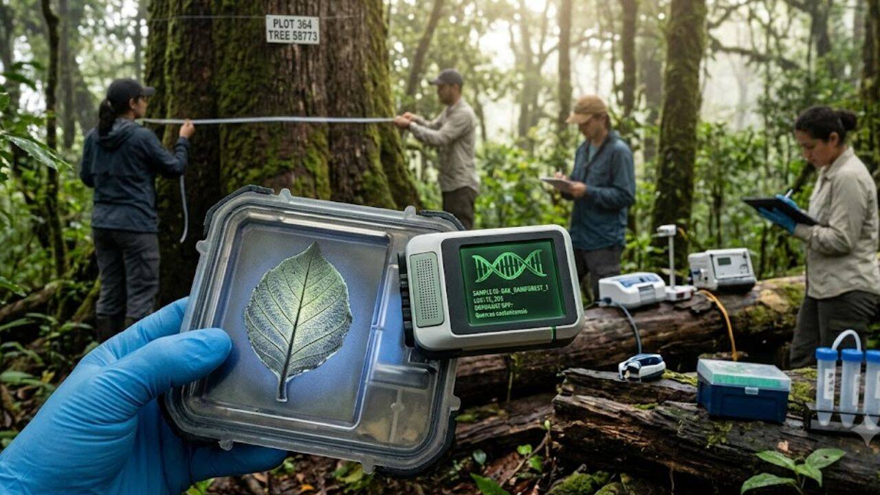
PC: AI Generated
What the 495 dominant tree species revealed about Costa Rica’s forests
The analysis showed that 495 dominant tree species could distinguish 10 groups of forest sites. Researchers then selected seven major groups with enough sampling sites to build a national model. A random forest model combined the site clusters with vegetation, climate, soil, and topographic information. Satellite observations from Sentinel-2 helped describe vegetation patterns across national forest cover. The model produced a forest ecosystem map with an overall F1-score of 0.73, while the macro F1-score was 0.58. The mapped ecosystems included wet seasonal evergreen forest, lowland wet evergreen forest on the Caribbean slope, dry-to-moist deciduous forest, mountain oak rainforest, and several premontane or mountain cloud and evergreen forests. Their distribution reflected distinct ecological conditions across the country’s varied landscapes.
Why secondary forests matter for biodiversity conservation in Costa Rica
The study also looked at secondary forests, which are increasingly important in tropical landscapes. Costa Rica has forest cover across 52% of its territory, with secondary forest making up 36% of that cover. Yet the researchers caution that forest cover is fragmented and mixed with agriculture, pastures and other land uses. Mapping forest ecosystems through dominant tree assemblages can therefore help show where secondary forests occur within different settings for conservation planners. The researchers also used this information to make an assessment of ecosystem vulnerability and the potential role of secondary forests in maintaining forest structure.
Why better forest inventories are still needed across Costa Rica
The researchers describe the mapping approach as repeatable, but they also point to an important practical limitation. Only 364 sampling plots were available nationally, and they were not evenly distributed among forest types or elevations. More accessible low- and medium-altitude forests were better represented than harder-to-reach areas. This imbalance affected the model strongly for several less-sampled forest groups. The researchers argue that better field inventories would improve future maps, especially by adding more plots in mid- and high-altitude forests. Even with those gaps, the study shows how field inventories, satellite observations, and environmental data can work together.