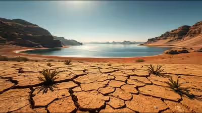
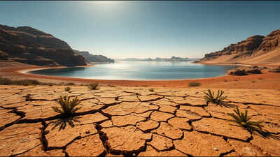
Roughly 6,000 years ago, the middle of what is now the southern Sahara held a lake larger than all five North American Great Lakes combined, spread across about 361,000 square kilometres of open water. Today, only Lake Chad remains as the surviving surface-water remnant of that much larger system, shared by Chad, Niger, Nigeria and Cameroon, while the ancient lake basin stretches far beyond it. At its highstand, palaeolake Mega-Chad was about 48 per cent larger than the combined surface area of the five Great Lakes, which together cover 244,106 square kilometres. The story of how a lake that size formed, and how it disappeared, comes from old shorelines etched into the desert landscape and sedimentary deposits that scientists have dated using optically stimulated luminescence and other geological methods, revealing a climate shift far larger and faster than most people would expect from a region now defined largely by sand. Its disappearance also left a landscape that records how strongly rainfall can reshape entire regions over relatively short geological timescales.
How scientists reconstructed the size of an ancient lake buried under Saharan sand
Reconstructing a lake that dried out thousands of years before written history required tracing physical evidence still preserved across the landscape. Old shorelines ring the basin like bathtub rings marking former water levels, while lake sediments preserve evidence of the environments that existed there. A study titled West African monsoon dynamics inferred from abrupt fluctuations of Lake Mega Chad, published in the Proceedings of the National Academy of Sciences by Simon Armitage, Charlie Bristow and Nick Drake, reconstructed changes in the lake using optically stimulated luminescence dating of dunes, shorelines and fluvio-lacustrine deposits. The technique estimates when mineral grains were last exposed to sunlight.The researchers found evidence of humid conditions beginning around 15,000 years ago. By about 11,500 years ago, Lake Mega-Chad had reached a highstand that persisted until roughly 5,000 years ago, when lake levels fell rapidly. The 2015 reconstruction estimated a maximum area of about 361,000 square kilometres, while earlier geomorphological work based on palaeoshorelines produced estimates of more than 400,000 square kilometres.Either estimate makes Mega-Chad substantially larger than the five Great Lakes of North America, whose combined surface area is 244,106 square kilometres. Using the 361,000-square-kilometre reconstruction, Mega-Chad was about 1.48 times the area of all five Great Lakes combined.
Why the Sahara was once green enough to support a lake this large
The lake existed because the Sahara and Sahel were much wetter during the African Humid Period. From roughly 15,000 to 5,000 years ago, large areas of North Africa supported lakes, wetlands, rivers and substantially more vegetation than today, although the timing of humid conditions varied across the region.The principal orbital driver was not simply a change in Earth’s tilt. Instead, changes in orbital precession altered the seasonal distribution of sunlight, producing stronger Northern Hemisphere summer insolation during the early Holocene. That increased summer heating over North Africa strengthened the West African monsoon and helped push the monsoon rain belt farther north into areas that are now arid. Changes in vegetation, soil moisture, surface water and ocean conditions could then amplify the initial orbital forcing.The study found that Lake Mega-Chad reached its highstand by about 11,500 years ago and remained high until around 5,000 years ago, when lake levels fell rapidly. The researchers interpreted this as evidence that the African Humid Period ended abruptly in the Mega-Chad basin, suggesting that the African monsoon can respond nonlinearly to gradual changes in orbital forcing.The northern part of the former lake basin, the Bodélé Depression, did not become completely dry at exactly the same time. The study places its final drying at around 1,000 years ago. Today, the depression is the world’s greatest single source of mineral dust, because sediments deposited by the former lake are readily eroded by strong winds.
Why what happened 5,000 years ago still matters for millions living near Lake Chad today
Modern Lake Chad has undergone its own dramatic contraction, but this should not be presented simply as a continuation of the ancient drying event. Its recent changes have occurred over decades and have been influenced by rainfall variability, drought and human water use, including irrigation.According to the United Nations Environment Programme, Lake Chad’s surface area fell from about 26,000 square kilometres in 1963 to less than 1,500 square kilometres at a documented low point, a decline of more than 90 percent. Because Lake Chad is extremely shallow, its area can change substantially with fluctuations in rainfall and river inflow, so the exact modern figure depends on the period and definition being used.The Lake Chad basin provides a lifeline for nearly 40 million people, according to UNEP. Agriculture, livestock raising and fishing are among the activities tied to the basin’s water resources.Understanding the ancient collapse of Mega-Chad does not by itself explain the modern crisis. The two events occurred on very different timescales and have different combinations of causes. What the ancient record does demonstrate is the extraordinary sensitivity of the region’s landscape to changes in rainfall and monsoon strength and how a basin that once supported one of the world’s largest lakes can eventually become one of its most important dust sources.